[meteorite-list] How to compute NEXRAD radar hit times
From: Jim Wooddell <nf114ec_at_meteoritecentral.com>
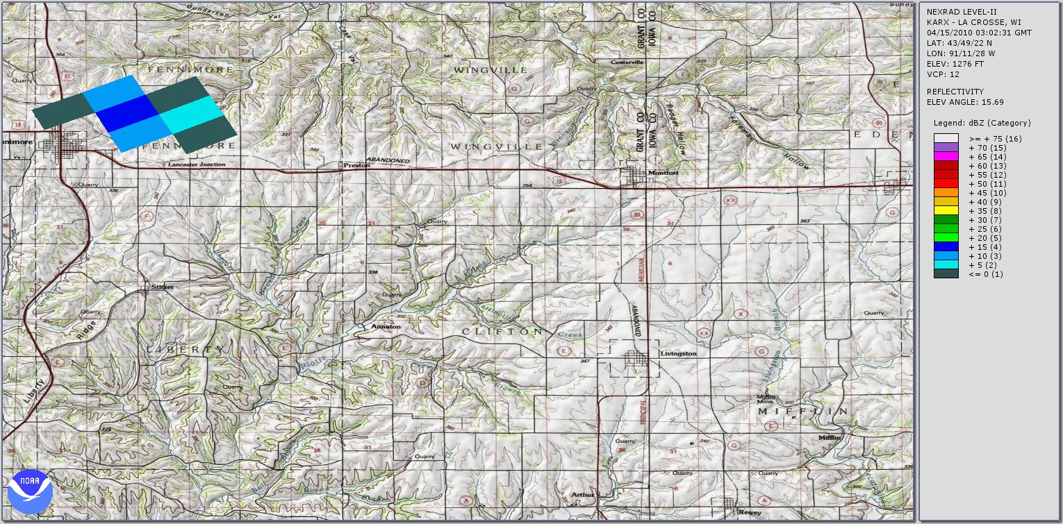
Date: Sun, 23 Jan 2011 17:30:39 -0700 Message-ID: <20B772A7F5064842BA4AA0634A8226DB_at_Grande> Hi Marc! If you go here and look at this: http://meteorite-recovery.tripod.com/2010/may/LaCrosse_030622.jpg (Rob's picture) The data I need to input to duplicate it is in the upper right hand corner. Is that correct???? If it is, I can not input that time in any way. There is no means to adjust anything that I can see in the NOAA software from the HAS file that was built. So before I go on, I see you are not using the Noaa software. I do not know what Rob is using. Can anyone duplicate this using the current version V2.5 or the beta software of the Noaa Weather and Climate Toolkit? If you can, I probably need to call you because I am doing something very wrong and can not see anywhere in the program to adjust anything to get that specific time. Or just give up on it and look into other software. All I get are snapshots of time not specified by me and no way to adjust that I can see. As usual I am lost ;) Thanks! Jim ----- Original Message ----- From: "Marc Fries" <fries at psi.edu> To: "Rob Matson" <mojave_meteorites at cox.net> Cc: "Jim Wooddell" <nf114ec at npgcable.com>; <meteorite-list at meteoritecentral.com> Sent: Sunday, January 23, 2011 4:39 PM Subject: Re: [meteorite-list] How to compute NEXRAD radar hit times Howdy all I'll chime in where needed here... On Jan 23, 2011, at 2:15 PM, Rob Matson wrote: > Hi Jim, > >> I find the use of Doppler Radar very interesting. I downloaded all >> the NOAA free stuff I could find to view Doppler from my laptop >> using their archived data. However, I can not produce the times >> that are specific to seeing Ash Creek. I was going to use Ash >> Creek as my test to determine if I was doing things right. I am >> not! And, I contacted the Phoenix NWS and they can not help with >> the times. The issue is the time. Only certain specific times are >> archived, so how or where did the data come from for the specific >> time? > > You probably DO have the right data -- it's just that you have to > do a bit of extra work to compute the approximate times corresponding > to a particular radar sweep and target location. Strangely, there is > NO information on the web about how to do this -- likely because > meteorologists don't care very much about knowing the scan times > of a particular cloud front. > > Here is how I do it. Mind you, I have no confirmation that my > technique is correct, but it is mathematically sensible and is > based on some logical assumtions: > > 1. The NEXRAD radar sweep rate (in azimuth) is constant. > 2. The sweep direction is clockwise as viewed from above. > 3. Each elevation scan takes the same amount of time to > complete. > 4. Each full scan starts at the lowest cut angle and ends > at the highest cut angle, with transitions in cut angle > occurring when the radar is transmitting due north. > 5. That the time-tag of each file corresponds to the start > time of the lowest cut angle, and that at that time the > radar is pointing due north. > > (I would love to have some confirmation that all of these > assumptions are correct -- Marc Fries can likely confirm or > correct me.) > You are correct! The radar points due north at the beginning of the lowest elevation cut at the start time given for each data set. > One remaining uncertainty I have is what physically happens > with the radar when it generates two sweeps at the same cut > angle (e.g. 0.5-degrees and 1.5-degrees are nearly always > swept twice each.) In these cases, does the radar complete > two full revolutions for each cut angle, or are the double > sweeps really just a single sweep, but processed twice (in > software) at different sensitivities? I have a feeling it's > the latter, since I usually see very little movement in > scene features between scans at the same cut angle. > The radar physically repeats each of these cuts. In the first, the pulse repetition rate and pulse width are optimized for reflectivity measurements, and in the second they are optimized for Doppler measurements. Note that for both scans, both Doppler and reflectivity data exists but with a lower signal quality than in the scans for which they are optimized. It can be worth looking in those scans to identify meteorite signatures. > In either case, what you need to do is count up how many > sweeps are done for each full scan -- it's usually at > least 5, and can be quite a bit more when in storm mode. > Divide the time between consecutive full scans (typically > around 10 minutes) by the number of sweeps per scan. > > Example: > > Image #1 timetag: 02:12:06 > Image #2 timetag: 02:21:56 > 5 sweeps per full scan > > (2:21:56 - 2:12:06) = 09:50 > 09:50 / 5 = 1 minute 58 seconds (1.967 minutes) > > This tells you that the radar sweep rate is: > > 360 degrees / 1.967 minutes = 183.1 degrees/minute, or > 3.051 degrees/second. > > Now, to determine the time of a specific radar "hit", all > you need is its azimuth (i.e. bearing from the radar), > which is displayed at the bottom of the Toolkit screen > when your cursor is over the hit. > > Let's say you see your target in the second sweep out of > five (e.g. the 1.5-degree cut angle) and that it's at > azimuth 227 degrees. Using the above example, the time of > that hit is computed as follows: > > 02:12:06 + (1 sweep * 1.967 minutes) + (227/360 * 1.967 min) > = 02:12:06 + 1.967 minutes + 1.240 minutes > = 02:15:12 > > Try this with Ash Creek, and I think you should come very > close to the time that Marc Fries did. > > Good luck! > Rob > It turns out that the time hack for each sweep is embedded in the data, but the NOAA software doesn't bother to show it (or so I've been told). The GRlevelX software I use reads the time hack for each cut and displays it. There can be several seconds' discrepancy between what I calculate manually and what the hack reports; I tend to believe the embedded time hack because there is additional time needed in each change the radar's azimuth between scans and possibly to let the radar's computer finish crunching numbers. Cheers, Marc Fries > ______________________________________________ > Visit the Archives at > http://www.meteoritecentral.com/mailing-list-archives.html > Meteorite-list mailing list > Meteorite-list at meteoritecentral.com > http://six.pairlist.net/mailman/listinfo/meteorite-list Received on Sun 23 Jan 2011 07:30:39 PM PST |
|